A-B. From the mapboard at the Information Office / Shop follow the green arrows (and red arrows for the longer Gleann Loop) arrow along the roadway to reach a roadway on your left. This is the point to which you will return - for now continue straight.
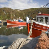
B-C. Continue to follow the green and red arrows as the road ascends. After 200m you reach a 3-way junction where you keep left and shortly afterwards are treated to splendid views of South Harbour. After 600m you reach a 3-way junction near a hostel - the red loop continues straight on here - but you turn left.
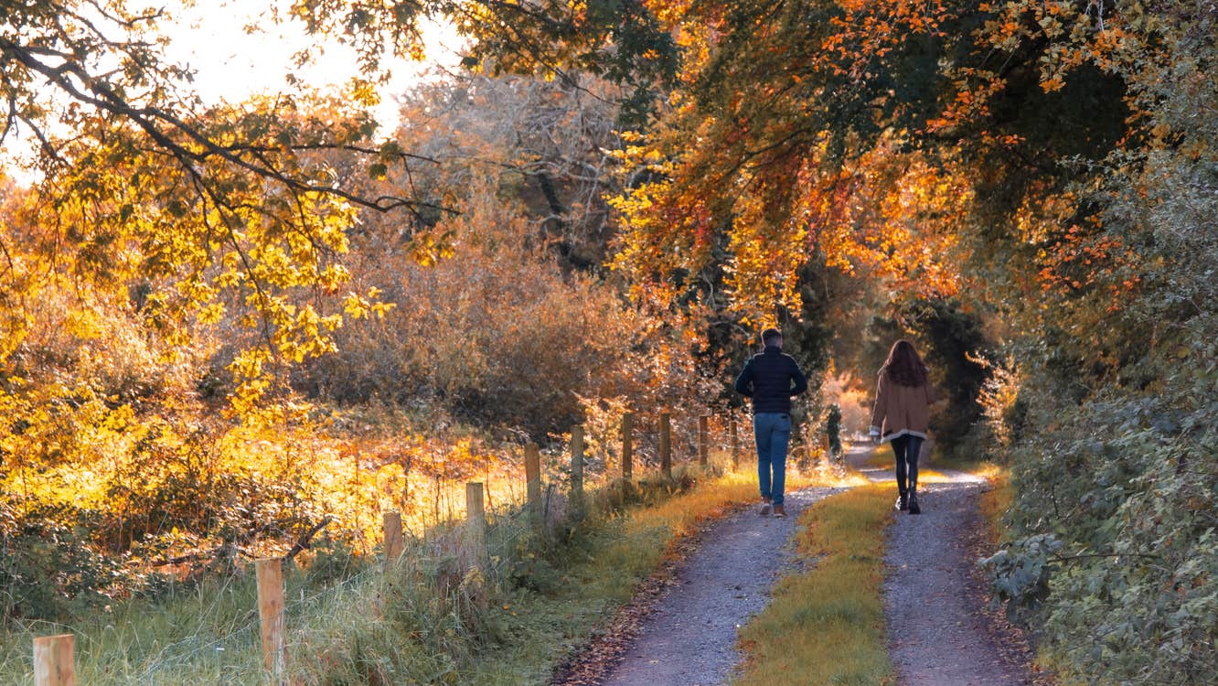
C-D. Follow the roadway as it ascends gently and, after 500m, note that the red loop rejoins from your right. After only 200m watch for a marker which directs you left through a stone stile and onto what was an old Mass Path. Follow the red and green arrows as the track takes you across an area called the Cnoicins (the little hills) and exits onto a surfaced road where you turn left.
D-A. The road takes you back to the junction mentioned at B above - 20m from the island shop and restaurant.
Trail details
- Type:
- Walking Trail
- Location:
- Cape Clear Island Loops
- Grade:
- Moderate
- Format:
- Loop
- Length:
- 3.10km
- Ascent:
- 200m
- Dogs allowed:
- Yes


