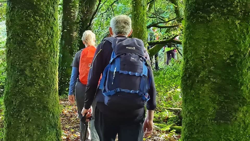
A-B. The loop starts from a car park at an entrance to forestry in Knightfield on the northern slopes of Mount Hillary. Enter the forestry via the barrier and follow the green arrow. You are also following blue and red arrows which are for longer loops. Ascend gently for 100m to reach a crossroads. Turn right here.
B-C. Follow the forestry road for 1.5km to reach an uphill track on your left. All three loops turn left here and after a short uphill climb, emerge onto another forestry road. Here the green loop turns left – you turn right following the blue (and red) arrows.
C-D. Follow the forestry road as it sweeps in a circle left for almost 3km to reach a 3-way junction where the red loop veers right. You swing left and downhill here.
D-E. After a little more than 1km, the red loop rejoins you from the right at another 3-way junction. Keep left (straight) here.
E-F. Continuing downhill, the loop swings sharp left at a junction and (500m later) rejoins the green loop at a 3-way junction. Now all three loops turn downhill (right).
F-A. Descend along the forestry road – passing straight through the crossroads where you began your outward journey. The trailhead is only another 100m.
Trail details
- Type:
- Walking Trail
- Location:
- Mount Hillary
- Grade:
- Moderate
- Format:
- Loop
- Length:
- 7.90km
- Ascent:
- 240m
- Dogs allowed:
- Yes
No services at trailhead. Public toilets at train station in Banteer.
