View MapView Map
Monaghan Way
Inniskeen, Co. Monaghan
Free to visit
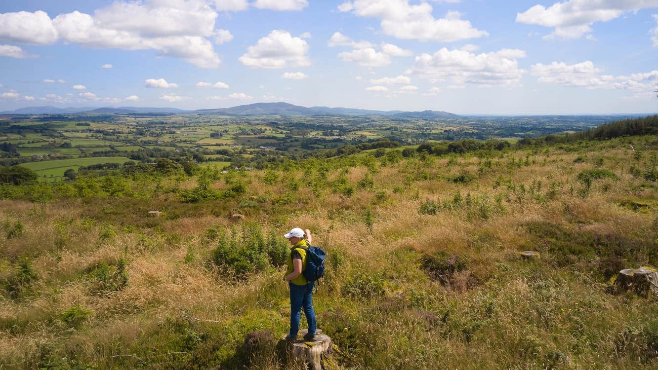
The Monaghan Way is a long distance walking route winding through scenic County Monaghan.

The Monaghan Way provides a blend of quiet country roads, cross country paths, riverside walkways and lakeshore approaches. It’s designed to showcase the area’s rich heritage and natural beauty.

The walk is accessible and enjoyable, featuring gentle slopes and flat stretches, with no steep climbs. Much of the route follows a disused railway line, reaching a maximum altitude of just 125m.

Spanning almost 18km from Inniskeen to Lough Muckno, the Monaghan Way can be completed as a long single day walk or split into two shorter days. Additionally, three loop walks provide opportunities to experience shorter sections of the trail.

Trail details

Type:
Long Distance Waymarked Way
Location:
Clontibret Inniskeen
Grade:
Moderate
Format:
Linear
Length:
17.80km
Ascent:
125m
Dogs allowed:
No
    Time:2 days
    Nearest town start:Inniskeen
    Nearest town finish:Crossmaglen
    Start point:Riverwalk and Inniskeen Pitch and Putt Carpark
    Finish point:Lough Muckno
    Waymarking:Yellow arrow on black background
    Facilities:Car parking and toilet facilities at Trailhead
Contact details
Candlefort, Inniskeen, Co. Monaghan, Ireland
Leave no trace
  • Plan ahead and prepare
  • Be considerate of others
  • Respect farm animals and wildlife
  • Travel and camp responsibly
  • Leave what you find
  • Dispose of waste properly
  • Protect nature from fire
Mail Icon SVG

Subscribe now to receive destination inspiration, travel tips, upcoming events and all the best things to do around Ireland.